Transitioning from single-tasking to multi-tasking deep learning models opens exciting possibilities for solving complex problems in the real world.
Multitasking models, also known as Multitask Learning (MTL) models, are a type of deep learning architecture designed to tackle multiple related tasks simultaneously. This differs from traditional single-task models, which focus on learning and performing just one specific task.
Multimodal multitasking models take the already powerful concept of multitasking models (MTL) a step further. They introduce the additional complexity of dealing with multiple data modalities concurrently. This means instead of learning from just one type of data (e.g., images), they can process and integrate information from various sources like RGB, text, LiDAR, hyperspectral, SAR data, and others, performing multiple tasks simultaneously.
Key points about multimodal multitasking models:
Combined Data Power: By fusing information from diverse sources, these models capture a richer and more comprehensive understanding of the problem at hand. Geospatial data comes from a variety of sources. Imagine analyzing a building not just from its image but also with height information from LiDAR and text descriptions, leading to a more accurate understanding.
Enhanced Task Performance: The synergistic learning between modalities can improve the performance of individual tasks compared to traditional single-task or single-modality approaches.
Real-World Applicability: Analogous to our brain processing surrounding objects collectively, deep learning models, inspired by the human brain, are tailored for real-world scenarios where information arrives in diverse forms. This type of model is particularly suited for real-world scenarios where information comes in different forms. For example, understanding urban landscapes, analyzing medical images with patient notes, or interpreting autonomous vehicle sensor data all benefit from this multimodal approach.
Joint building segmentation and height estimation: Combining imagery (RGB, SAR) and LiDAR data in an MMTL model allows for simultaneous extraction of building outlines and estimation of their heights. This information can be valuable for urban planning, disaster response, and other applications.
Imagine having a tool that automatically analyzes large-scale satellite and aerial imagery, extracting detailed information about every building in a city—its precise location, shape, and even height—all from a single analysis. This isn’t science fiction anymore; it’s the potential of Multimodal Multitasking Learning (MMTL) in urban analysis, exemplified by the joint task of building segmentation and height estimation.
How does MMTL work?
Traditional approaches often treat these tasks separately, leading to inefficiencies and potential inaccuracies. MMTL breaks this barrier by:
Leveraging multiple data sources: It combines imagery (RGB, SAR, or hyperspectral) with LiDAR data or DEM data, offering both visual and 3D information.
Performing multiple tasks simultaneously: It segments individual buildings in the imagery while simultaneously estimating their heights.
Learning shared features: The model learns from both tasks simultaneously.
For example, after a natural disaster, MMTL can quickly assess building damage by accurately segmenting and measuring damaged structures. This information helps prioritize rescue efforts, allocate resources efficiently, and inform reconstruction plans.
MMTL can create 3D city models with precise building heights and footprints, enabling simulations of traffic flow, energy consumption, and air quality. Predicting how airflows and temperatures are affected by building shapes and heights informs urban design decisions that promote comfort and sustainability.
MMTL can automatically estimate building sizes and values, leading to fairer and more efficient property tax assessments. This reduces administrative burden and ensures accurate revenue generation for city development.
MMTL can optimize the placement of green spaces based on building heights and access to sunlight.
MMTL can identify vulnerable populations residing in buildings with poor ventilation or high solar heat gain.
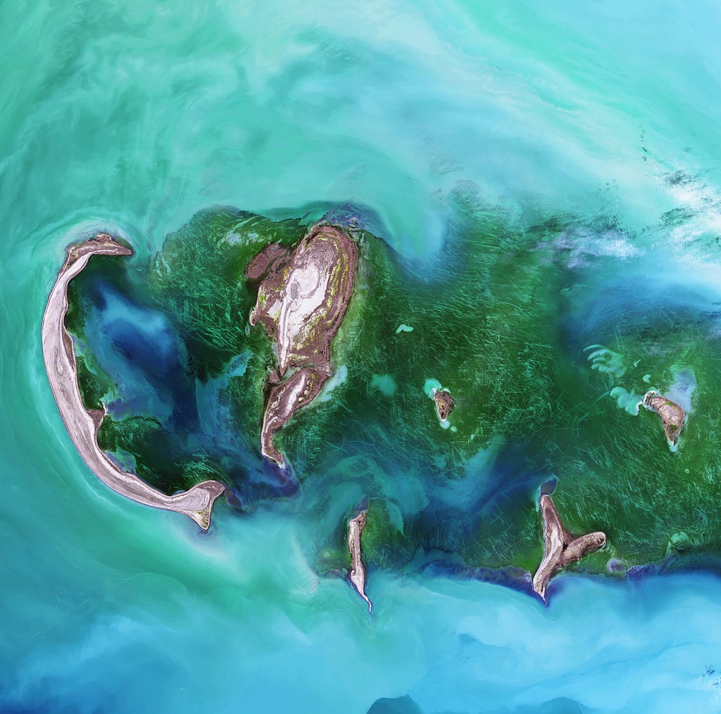
Land cover classification and change detection: Leverage imagery (multispectral, hyperspectral), LiDAR, and elevation data within an MMTL model to simultaneously classify land cover types and detect changes over time, providing valuable insights for environmental monitoring and resource management.
MMTL can analyze building density and land use patterns, guiding developers in identifying suitable locations for new construction projects while considering urban needs and growth patterns.
Autonomous vehicle navigation: MMTL combines LiDAR for 3D environment perception, a camera for visual understanding, GPS for location, and sensor data for real-time updates. Integrating tasks like object detection, lane recognition, and traffic sign identification into a single model could contribute to safer and more efficient self-driving cars. Combining data from different modalities allows for a richer understanding of the environment, capturing both visual cues and precise 3D information. The model can learn and adapt to diverse driving conditions like rain, snow, or low light based on the combined sensor data.
Example: Imagine an AV approaching an intersection.
Camera: Sees a car approaching but struggles to judge its distance due to poor lighting.
LiDAR: Provides precise distance measurement, confirming the potential collision.
GPS: Tracks the AV’s position and helps plan a safe maneuver.
IMU: Detects the AV’s orientation and potential instability.
MMTL combines this information in real-time, allowing the AV to:
Accurately assess the collision risk.
Plan a safe maneuver (braking, swerving, etc.).
Remain stable throughout the maneuver.
Tasks:
Object Detection: Identifying and classifying various objects on the road (pedestrians, vehicles, traffic signs, etc.).
Lane Detection: Recognizing and staying within designated lanes for proper navigation.
Road Condition Estimation: Understanding the road surface (wet, uneven, etc.) for safe maneuverability.
Traffic flow prediction: Anticipating the behavior of other vehicles and pedestrians.
Trajectory Planning: Determining the optimal path the vehicle should take while obeying traffic rules and avoiding obstacles.
Real-world Examples:
Tesla’s Autopilot system utilizes MMTL to combine camera, radar, and other data for improved object detection and obstacle avoidance.
Waymo’s self-driving cars use MMTL to fuse camera, LiDAR, and radar data for safe navigation in complex urban environments.
Challenges and Future:
Data Quality and Availability: Training MMTL models requires large datasets with diverse driving scenarios, which can be expensive and challenging to collect.
Computational Complexity: MMTL models can be computationally demanding, requiring powerful hardware and efficient algorithms for real-time operation in AVs.
Explainability and Trust: Understanding how the model makes decisions is crucial for building trust in AV technology.
Infrastructure Monitoring and Maintenance: Utilize imagery, LiDAR, and sensor data from infrastructure like bridges, pipelines, and power grids within an MMTL model to simultaneously detect potential defects, estimate damage, and predict maintenance needs. This leads to increased safety, reduced costs, and improved resilience. MMTL can analyze diverse data sources simultaneously, such as:
Visual data: images from drones, satellite imagery, CCTV footage.
Sensor data: data from strain gauges, vibration sensors, and temperature sensors.
Identify potential issues early: MMTL can detect subtle changes in data patterns that might indicate developing problems before they become critical.
Prioritize maintenance activities: The model can assess the severity of identified issues and recommend which infrastructure components need immediate attention.
Optimize maintenance schedules: MMTL can predict the lifespan of various infrastructure components and suggest preventive maintenance actions to avoid unexpected failures.
Reduce costs: By identifying and addressing issues early, MMTL can prevent costly repairs and disruptions.
Here are some real-world use cases demonstrating the power of MMTL in infrastructure monitoring and maintenance:
1. Bridge Inspection:
Use case: Combine drone images with sensor data (vibrations, cracks) to identify structural weaknesses in bridges.
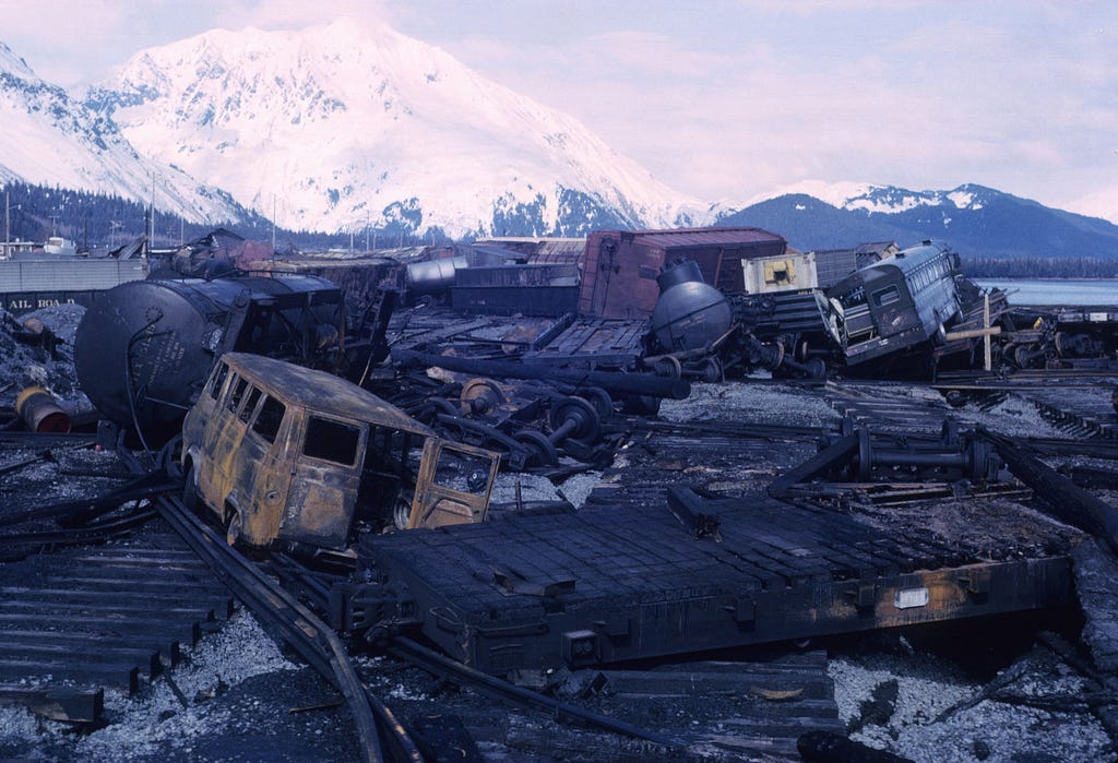
Benefits: MMTL can identify track defects like misalignment, broken rails, and loose fasteners before they cause accidents or derailments. This ensures the safety and efficiency of railway operations.
Flood Risk Assessment and Mapping: Combine satellite imagery, LiDAR data, and precipitation information in an MMTL model to simultaneously predict flood inundation areas, estimate flood depths, and assess potential damage.
Scenario: Imagine a coastal city like Miami, Florida, prone to both riverine flooding from heavy rains and storm surge flooding due to hurricanes. The city authorities want to conduct a comprehensive flood risk assessment to:
Identify flood-prone areas: Accurately map areas at risk of flooding from various sources, including rivers, storm surges, and drainage overflows.
Assess vulnerability: Analyze the vulnerability of different infrastructures, populations, and economic assets based on factors like elevation, building type, and socio-economic status.
Predict flood inundation: Estimate the extent and depth of potential floodwater in different scenarios (e.g., 100-year flood, major hurricane).
Inform mitigation strategies: Develop targeted and effective mitigation strategies based on the identified risks and vulnerabilities.
How MMTL can be used:
Data Sources:
Satellite imagery: High-resolution optical, radar, and LiDAR data for land cover classification, elevation mapping, and coastal features identification.
Precipitation data: Rainfall gauges and weather models for predicting flood events from rivers.
Storm surge data: Hurricane track forecasts and historical storm data for simulating storm surge impacts.
Social media data: Tweets and images for real-time updates on flood events and community needs.
Hydrological data: River gauge data and historical flood records for understanding riverine flood patterns.
City infrastructure data: Building footprint data, population density information, and critical infrastructure locations.
2. Tasks:
Flood hazard mapping: Using LiDAR and satellite imagery, identify low-lying areas prone to flooding from rivers and storm surges.
Vulnerability assessment: Combine social media data, population density, and building-type information to identify vulnerable communities and critical infrastructure.
Flood inundation modeling: Use MMTL to combine river flow data, storm surge models, and elevation data to predict floodwater extent and depth in different scenarios.
Risk communication: Generate interactive maps and reports to communicate flood risks to stakeholders and communities.
3. Benefits:
Improved accuracy: MMTL can integrate diverse data sources, leading to more accurate flood risk assessments compared to traditional methods relying on limited data.
Enhanced understanding: MMTL can identify complex relationships between different factors like elevation, land cover, and infrastructure, leading to better mitigation strategies.
Real-time insights: Social media data allows for real-time updates on flood events, enabling faster response and targeted mitigation efforts.
Data efficiency: MMTL can learn from limited data, making it suitable for coastal areas with sparse historical flood records.
4. Mitigation Strategies:
Based on the MMTL analysis, the city can prioritize building seawalls and levees in high-risk coastal areas.
Invest in green infrastructure like parks and rain gardens to improve drainage and reduce floodwater inundation.
Implement early warning systems and evacuation plans for vulnerable communities.
Develop flood-resistant building codes and retrofit critical infrastructure.
Urban Sprawl Analysis and Infrastructure Planning: MMTL analyzes spatial patterns in imagery and LiDAR, combined with demographic information, to understand urban sprawl patterns and predict future growth. This helps in planning infrastructure like roads, utilities, and green spaces more efficiently and sustainably.
Here’s a breakdown of how Multimodal Multitasking Learning (MMTL) works:
Data Inputs:
Multiple data sources: Each block represents a different data source, like satellite/drone imagery, text, LiDAR data, etc. (e.g., Block A: Sensor images, Block B: LiDAR data, Block C: Social media text).
Preprocessing: Each data source might undergo specific preprocessing depending on its type (e.g., image resizing, text tokenization, normalization, scaling etc).
Feature Extraction:
Individual encoders: Each data source has its own encoder network specifically designed to extract relevant features (e.g., Convolutional Neural Network (CNN) for images, Recurrent Neural Network (RNN) for text).
Shared representations: Extracted features from different encoders are combined through a fusion layer, creating a shared representation capturing information from all modalities.
Multitasking:
Multiple task heads: Different heads are connected to the shared representation, each specializing in a specific task (e.g., object detection, building segmentation, road condition estimation).
Individual outputs: Each task head produces its own output based on the shared representation and its specific training data.
Overall Training:
Combined Loss: A single loss function combines individual task losses, encouraging the model to learn features beneficial for all tasks.
Backpropagation: Error signals from each task loss and the combined loss are used to update the parameters of all encoders, the fusion layer, and the task heads simultaneously.
Challenges:
Model Complexity: Designing and training MMTL models can be more complex compared to single-modality or single-task models.
Data Quality and Availability: Requires high-quality, accurately labeled data from all modalities and tasks.
Task Interference: Balancing different tasks and mitigating potential negative influence between them is crucial.
Remember: This is a simplified representation, and actual MMTL architectures can vary depending on the specific application and data types.
Designing and training these models requires advanced architectures and specialized training techniques, making them more computationally expensive compared to simpler models. Collecting and preparing data from multiple modalities can be challenging and require careful curation and preprocessing. Choosing tasks that are compatible and can be effectively learned from the available data modalities is crucial for successful implementation.
Overall, MMTL holds exciting potential to revolutionize the geospatial domain by:
Extracting deeper insights from multiple data sources.
Solving complex problems with improved efficiency and accuracy.
Enabling proactive and data-driven decision-making.
As MMTL technology continues its evolution, we anticipate a plethora of innovative applications contributing to a more sustainable, resilient, and data-driven future for our planet.
Feel free to share your views or additional examples of MMTL in geospatial analysis in the comments section.
In our next article, we’ll delve into Python libraries supporting the development of multimodal multitask learning.
Don’t forget to follow up for updates on forthcoming geospatial articles! 🔔